Live Traffic Camera: IH-10 West @ Chew (West)
Unknown, Texas
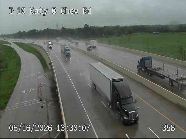
All cameras on I-10 in Texas →This traffic camera monitors I-10 in Texas, with a westbound view.
Current weather near this camera is dry, with clear sky and temperatures near 79.2 °F.
The live view is most useful for checking traffic flow, visibility, and any lane restrictions before driving through the Austin County area.
Camera Information & Location Details
- Highway/Roadway
- I-10
- Traffic Direction
- West
- County
- Austin
- City
- Unknown
- Feed Type
- Still Image
- Geographic Coordinates
- 29.77015, -96.04559
- Source Provider
- TxDOT
Real-Time Mapping
Current Weather near traffic camera in Unknown, Texas
Clear sky
- Temperature
- 79.2 °F
- Feels Like
- 83.8 °F
- Humidity
- 82%
- Wind
- 12.4 mph
- Wind Direction
- SSW (193°)
- Precipitation
- 0.00 inch
Forecast
- Max
- 102.3 °F
- Min
- 74.0 °F
- Precip.
- 0.00 inch
- Status
- Clear sky
- Max
- 105.2 °F
- Min
- 77.6 °F
- Precip.
- 0.00 inch
- Status
- Clear sky
- Max
- 106.2 °F
- Min
- 75.3 °F
- Precip.
- 0.00 inch
- Status
- Clear sky
Observed at: 2026-08-01 05:00 UTC (weather data updated hourly)
Nearby Cameras
IH-10 West @ Chew ( W )
Unknown
I-10
Direction: West
Distance: 0.7 miles
IH-10 @ Brazos River WB Weigh Station
Unknown
I-10
Direction: West
Distance: 1.5 miles
IH-10 West @ Mlcak ( E )
Unknown
I-10
Direction: West
Distance: 1.6 miles
IH-10 West @ Mlcak
Unknown
I-10
Direction: West
Distance: 1.8 miles
IH-10 West @ Mlcak ( W )
San Felipe
I-10
Direction: West
Distance: 2.5 miles
IH-10 West @ FM 1458 ( E )
San Felipe
I-10
Direction: West
Distance: 3.1 miles
IH-10 West @ FM 1458
San Felipe
I-10
Direction: West
Distance: 3.8 miles
IH-10 West @ Mountain Laurel Rd.
San Felipe
I-10
Direction: West
Distance: 4.5 miles
IH-10 West @ US 90
Sealy
I-10
Direction: West
Distance: 5.3 miles