Live Traffic Camera: I-35 S BEFORE SANTA FE (N/A)
Olathe, Kansas
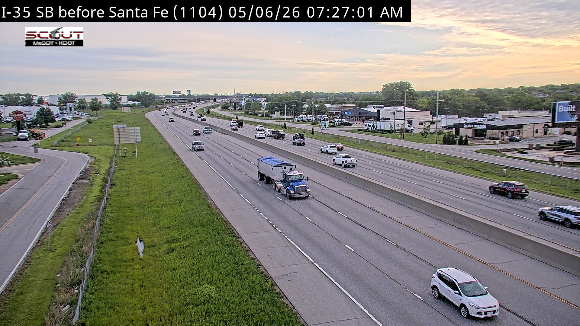
All cameras on I-35 in Kansas →This traffic camera monitors I-35 in Olathe, Kansas.
Multiple National Weather Service alerts are active for this camera area. Review the alert details below before traveling through this corridor.
Current weather near this camera is dry, with clear sky and temperatures near 87.3 °F.
The live view is most useful for checking traffic flow, visibility, and any lane restrictions before driving through the Olathe area.
A later forecast includes precipitation, including light rain, so conditions may change after the current camera view.
Camera Information & Location Details
- Highway/Roadway
- I-35
- Traffic Direction
- N/A
- County
- Johnson
- City
- Olathe
- Feed Type
- Still Image
- Geographic Coordinates
- 38.88913, -94.79039
- Source Provider
- KC Scout
Real-Time Mapping
Active Weather Alert near this camera
Conditions are favorable for hazardous weather nearby, even if the current camera view looks calm.
Severe Thunderstorm Watch
Severe Thunderstorm Watch issued June 17 at 2:36PM CDT until June 17 at 10:00PM CDT by NWS Kansas City/Pleasant Hill MO
THE NATIONAL WEATHER SERVICE HAS ISSUED SEVERE THUNDERSTORM WATCH 343 IN EFFECT UNTIL 10 PM CDT THIS EVENING FOR THE FOLLOWING AREAS IN KANSAS THIS WATCH INCLUDES 5 COUNTIES IN EAST CENTRAL KANSAS JOHNSON LINN MIAMI IN NORTHEAST KANSAS LEAVENWORTH WYANDOTTE IN MISSOURI THIS WATCH INCLUDES 24 COUNTIES IN CENTRAL MISSOURI COOPER HOWARD PETTIS SALINE IN NORTH CENTRAL MISSOURI CALDWELL CARROLL CHARITON LINN LIVINGSTON MACON RANDOLPH SULLIVAN IN NORTHEAST MISSOURI ADAIR SCHUYLER IN NORTHWEST MISSOURI CLINTON IN WEST CENTRAL MISSOURI BATES CASS CLAY HENRY JACKSON JOHNSON LAFAYETTE PLATTE RAY THIS INCLUDES THE CITIES OF ADRIAN, BELTON, BOONVILLE, BRAYMER, BRECKENRIDGE, BROOKFIELD, BRUNSWICK, BUTLER, CAMERON, CARROLLTON, CHILLICOTHE, CLINTON, CONCORDIA, DOWNING, EXCELSIOR SPRINGS, FAYETTE, FORT LEAVENWORTH, GLADSTONE, GLASGOW, GLENWOOD, GREEN CITY, GREENTOP, HAMILTON, HARRISONVILLE, HIGGINSVILLE, INDEPENDENCE, KANSAS CITY, KANSAS CITY KANSAS, KEARNEY, KEYTESVILLE, KIRKSVILLE, LA CYGNE, LA PLATA, LANCASTER, LANSING, LATHROP, LAWSON, LEAVENWORTH, LENEXA, LEXINGTON, LIBERTY, LOUISBURG, MACON, MARCELINE, MARSHALL, MILAN, MOBERLY, MOUND CITY, NEW FRANKLIN, ODESSA, OLATHE, OSAWATOMIE, OVERLAND PARK, PAOLA, PARKVILLE, PLATTE CITY, PLATTSBURG, PLEASANT HILL, PLEASANTON, POLO, QUEEN CITY, RAYMORE, RICH HILL, RICHMOND, RIVERSIDE, SALISBURY, SEDALIA, SHAWNEE, STANLEY, WARRENSBURG, WEATHERBY LAKE, WESTON, AND WINDSOR.
- Active until
- 2026-06-18 03:00:00 UTC
- Certainty
- Possible
- Area
- Johnson, KS; Leavenworth, KS; Linn, KS; Miami, KS; Wyandotte, KS; Adair, MO; Bates, MO; Caldwell, MO; Carroll, MO; Cass, MO; Chariton, MO; Clay, MO; Clinton, MO; Cooper, MO; Henry, MO; Howard, MO; Jackson, MO; Johnson, MO; Lafayette, MO; Linn, MO; Livingston, MO; Macon, MO; Pettis, MO; Platte, MO; Randolph, MO; Ray, MO; Saline, MO; Schuyler, MO; Sullivan, MO
Wind Advisory
Wind Advisory issued June 16 at 7:40PM CDT until June 17 at 3:00PM CDT by NWS Kansas City/Pleasant Hill MO
* WHAT...Southwest winds 15 to 25 mph with gusts up to 50 mph expected. * WHERE...Portions of east central Kansas and central, north central, northeast, and west central Missouri. * WHEN...From 7 AM to 3 PM CDT Wednesday. * IMPACTS...Gusty winds will blow around unsecured objects. Tree limbs could be blown down and a few power outages may result.
Winds this strong can make driving difficult, especially for high profile vehicles. Use extra caution. Secure outdoor objects.
- Active until
- 2026-06-17 20:00:00 UTC
- Certainty
- Likely
- Area
- Miami; Linn; Johnson; Putnam; Schuyler; Sullivan; Adair; Caldwell; Livingston; Linn; Macon; Ray; Carroll; Chariton; Randolph; Jackson; Lafayette; Saline; Howard; Cass; Johnson; Pettis; Cooper; Bates; Henry
Current Weather near traffic camera in Olathe, Kansas
Clear sky
- Temperature
- 87.3 °F
- Feels Like
- 90.7 °F
- Humidity
- 70%
- Wind
- 19.8 mph
- Wind Direction
- SW (236°)
- Precipitation
- 0.00 inch
Forecast
- Max
- 89.0 °F
- Min
- 65.8 °F
- Precip.
- 0.08 inch
- Status
- Slight rain
- Max
- 80.2 °F
- Min
- 62.7 °F
- Precip.
- 0.00 inch
- Status
- Clear sky
- Max
- 78.0 °F
- Min
- 58.0 °F
- Precip.
- 0.00 inch
- Status
- Clear sky
Observed at: 2026-06-17 19:00 UTC (weather data updated hourly)
Nearby Cameras
I-35 N @ 127TH ST
Olathe
I-35
Distance: 0.8 miles
I-35 N @ Old 56 Hwy
Olathe
I-35
Distance: 1.2 miles
I-35 N @ AT 119TH ST
Olathe
I-35
Distance: 2.0 miles
I-35 N @ 151st Street
Olathe
I-35
Distance: 2.6 miles
K-7 N @ Harold St
Olathe
KS 7
Distance: 2.7 miles
I-35 N @ S OF I-435
Lenexa
I-35
Distance: 3.2 miles
K-10 E @ Ridgeview
Olathe
KS 10
Distance: 3.6 miles
K-10 E @ AT RENNER RD
Lenexa
KS 10
Distance: 3.6 miles
K-7 S @ 119th Street
Olathe
KS 7
Distance: 3.6 miles