Live Traffic Camera: I-35 N @ US-69 Short Tunnel (N/A)
Lenexa, Kansas
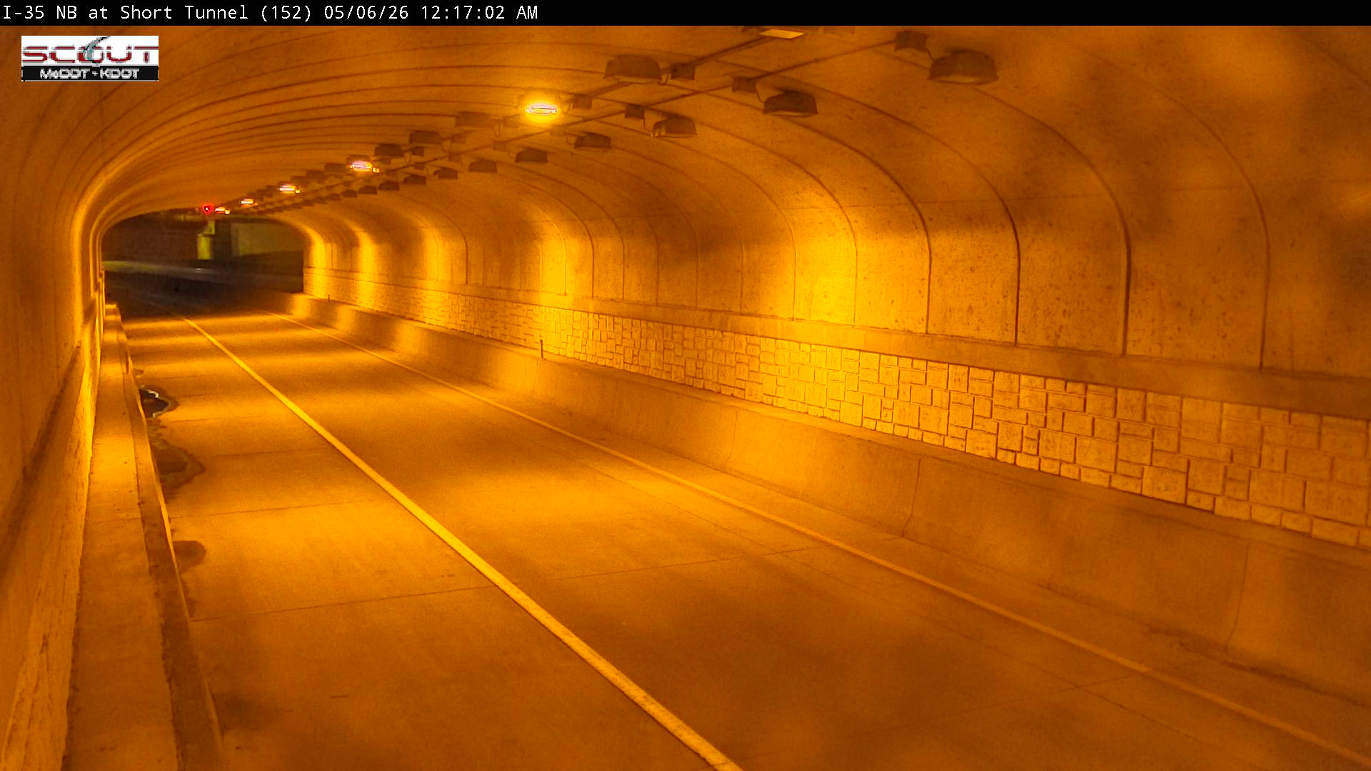
All cameras on I-35 in Kansas →This traffic camera monitors I-35 in Lenexa, Kansas.
Multiple National Weather Service alerts are active for this camera area. Review the alert details below before traveling through this corridor.
Light rain is reported near this camera, with temperatures near 68.3 °F. Allow extra braking distance and watch for spray from nearby traffic.
Additional rain is expected over the next few days, which could keep pavement conditions variable in the Lenexa area.
Camera Information & Location Details
- Highway/Roadway
- I-35
- Traffic Direction
- N/A
- County
- Johnson
- City
- Lenexa
- Feed Type
- Still Image
- Geographic Coordinates
- 38.97273, -94.71654
- Source Provider
- KC Scout
Real-Time Mapping
Active Weather Alert near this camera
Hazardous weather is occurring or expected soon near this camera area.
Flash Flood Warning
Flash Flood Warning issued June 21 at 5:56AM CDT until June 21 at 8:30AM CDT by NWS Kansas City/Pleasant Hill MO
At 556 AM CDT, emergency management reported flash flooding across the warned area. State Route 5 in Leavenworth County is inundated with water near Seven Mile Creek. Additional flooding is likely in the warning area. Between 1 and 3.5 inches of rain have fallen. Additional rainfall amounts up to 1 inch are possible in the warned area. HAZARD...Flash flooding caused by heavy rain. SOURCE...Emergency management reported. IMPACT...Flash flooding of small creeks and streams, urban areas, highways, streets and underpasses as well as other poor drainage and low-lying areas. Some locations that will experience flash flooding include... Kansas City, Overland Park, Olathe, Shawnee, Lenexa, Leavenworth, Leawood, Prairie Village, Lansing, Merriam, Mission, Smithville, Bonner Springs, De Soto, Parkville, Tonganoxie, Platte City and Basehor.
Turn around, don't drown when encountering flooded roads. Most flood deaths occur in vehicles.
- Active until
- 2026-06-21 13:30:00 UTC
- Certainty
- Likely
- Area
- Johnson, KS; Leavenworth, KS; Wyandotte, KS; Clay, MO; Platte, MO
Flood Watch
Flood Watch issued June 20 at 8:17PM CDT until June 21 at 7:00PM CDT by NWS Kansas City/Pleasant Hill MO
* WHAT...Flooding caused by excessive rainfall continues to be possible. * WHERE...Portions of Kansas, including the following areas, Atchison KS, Doniphan, Johnson KS, Leavenworth, Linn KS, Miami and Wyandotte and Missouri, including the following areas, Adair, Andrew, Atchison MO, Bates, Buchanan, Caldwell, Carroll, Cass, Chariton, Clay, Clinton, Cooper, Daviess, De Kalb, Gentry, Grundy, Harrison, Henry, Holt, Howard, Jackson, Johnson MO, Lafayette, Linn MO, Livingston, Macon, Mercer, Nodaway, Pettis, Platte, Putnam, Randolph, Ray, Saline, Schuyler, Sullivan and Worth. * WHEN...Through Sunday evening. * IMPACTS...Excessive runoff may result in flooding of rivers, creeks, streams, and other low-lying and flood-prone locations. Flooding may occur in poor drainage and urban areas. * ADDITIONAL DETAILS... - A tropical airmass combined with expected thunderstorm development will make for higher rain rates that can lead to flooding. http://www.weather.gov/safety/flood - Http://www.weather.gov/safety/flood
You should monitor later forecasts and be alert for possible Flood Warnings. Those living in areas prone to flooding should be prepared to take action should flooding develop.
- Active until
- 2026-06-22 00:00:00 UTC
- Certainty
- Possible
- Area
- Atchison; Miami; Linn; Doniphan; Leavenworth; Wyandotte; Johnson; Atchison; Nodaway; Worth; Gentry; Harrison; Mercer; Putnam; Schuyler; Holt; Andrew; De Kalb; Daviess; Grundy; Sullivan; Adair; Buchanan; Clinton; Caldwell; Livingston; Linn; Macon; Platte; Clay; Ray; Carroll; Chariton; Randolph; Jackson; Lafayette; Saline; Howard; Cass; Johnson; Pettis; Cooper; Bates; Henry
Current Weather near traffic camera in Lenexa, Kansas
Rain: Slight
- Temperature
- 68.3 °F
- Feels Like
- 70.0 °F
- Humidity
- 98%
- Wind
- 11.9 mph
- Wind Direction
- SSW (203°)
- Precipitation
- 0.03 inch
Forecast
- Max
- 79.1 °F
- Min
- 67.2 °F
- Precip.
- 0.76 inch
- Status
- Heavy rain
- Max
- 75.1 °F
- Min
- 56.9 °F
- Precip.
- 0.03 inch
- Status
- Slight rain
- Max
- 79.2 °F
- Min
- 62.0 °F
- Precip.
- 0.00 inch
- Status
- Clear sky
Observed at: 2026-06-21 12:00 UTC (weather data updated hourly)
Nearby Cameras
I-35 S @ 87TH ST
Lenexa
I-35
Distance: 0.0 miles
I-35 N @ US-69 Long Tunnel
Lenexa
I-35
Distance: 0.3 miles
I-35 S @ US-69 Flyover
Lenexa
I-35
Distance: 0.3 miles
US-69 S @ 87th Street
Overland Park
US 69
Distance: 0.3 miles
US-69 S Past 87th Street
Overland Park
US 69
Distance: 0.7 miles
I-35 S @ HWY 69
Lenexa
I-35
Distance: 0.8 miles
I-35 S @ QUIVIRA RD
Lenexa
I-35
Distance: 0.9 miles
US-69 N @ Before 95th Street
Overland Park
US 69
Distance: 1.5 miles
I-35 S @ 95th St
Lenexa
I-35
Distance: 1.5 miles