Live Traffic Camera: I-70 E @ W of18th Street (N/A)
Kansas City, Kansas
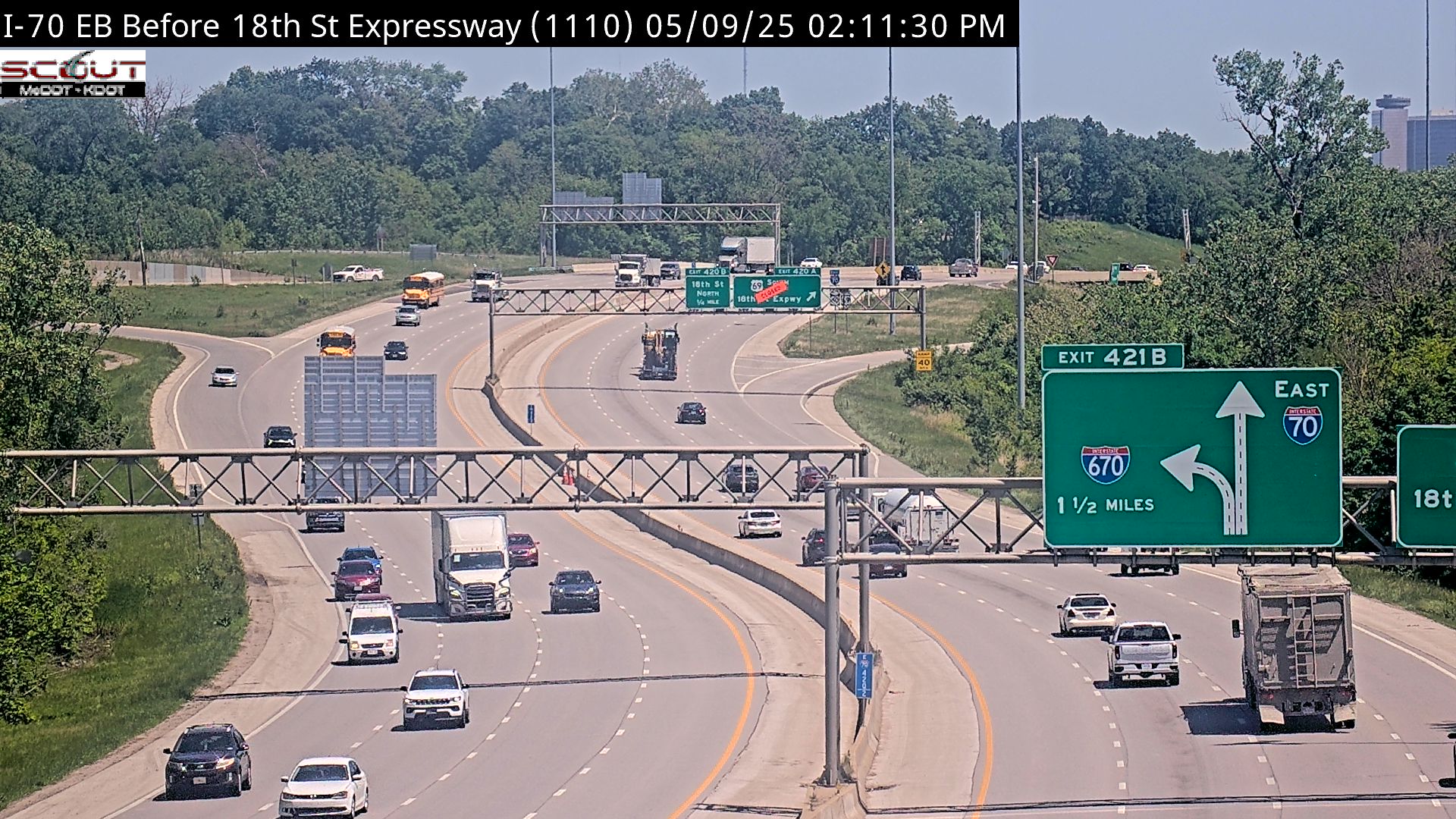
All cameras on I-70 in Kansas →This traffic camera monitors I-70 in Kansas City, Kansas.
Multiple National Weather Service alerts are active for this camera area. Review the alert details below before traveling through this corridor.
Light rain is reported near this camera, with temperatures near 68.4 °F. Allow extra braking distance and watch for spray from nearby traffic.
Additional rain is expected over the next few days, which could keep pavement conditions variable in the Kansas City area.
Camera Information & Location Details
- Highway/Roadway
- I-70
- Traffic Direction
- N/A
- County
- Wyandotte
- City
- Kansas City
- Feed Type
- Still Image
- Geographic Coordinates
- 39.09689, -94.65954
- Source Provider
- KC Scout
Real-Time Mapping
Active Weather Alert near this camera
Conditions are favorable for hazardous weather nearby, even if the current camera view looks calm.
Severe Thunderstorm Watch
Severe Thunderstorm Watch issued June 21 at 12:04AM CDT until June 21 at 6:00AM CDT by NWS Kansas City/Pleasant Hill MO
THE NATIONAL WEATHER SERVICE HAS ISSUED SEVERE THUNDERSTORM WATCH 362 IN EFFECT UNTIL 6 AM CDT EARLY THIS MORNING FOR THE FOLLOWING AREAS IN KANSAS THIS WATCH INCLUDES 6 COUNTIES IN EAST CENTRAL KANSAS JOHNSON LINN MIAMI IN NORTHEAST KANSAS ATCHISON LEAVENWORTH WYANDOTTE IN MISSOURI THIS WATCH INCLUDES 5 COUNTIES IN WEST CENTRAL MISSOURI BATES CASS CLAY JACKSON PLATTE THIS INCLUDES THE CITIES OF ADRIAN, ATCHISON, BELTON, BUTLER, EXCELSIOR SPRINGS, FORT LEAVENWORTH, GLADSTONE, HARRISONVILLE, INDEPENDENCE, KANSAS CITY, KANSAS CITY KANSAS, KEARNEY, LA CYGNE, LANSING, LEAVENWORTH, LENEXA, LIBERTY, LOUISBURG, MOUND CITY, OLATHE, OSAWATOMIE, OVERLAND PARK, PAOLA, PARKVILLE, PLATTE CITY, PLEASANT HILL, PLEASANTON, RAYMORE, RICH HILL, RIVERSIDE, SHAWNEE, STANLEY, WEATHERBY LAKE, AND WESTON.
- Active until
- 2026-06-21 11:00:00 UTC
- Certainty
- Possible
- Area
- Atchison, KS; Johnson, KS; Leavenworth, KS; Linn, KS; Miami, KS; Wyandotte, KS; Bates, MO; Cass, MO; Clay, MO; Jackson, MO; Platte, MO
Flash Flood Warning
Flash Flood Warning issued June 21 at 4:42AM CDT until June 21 at 8:30AM CDT by NWS Kansas City/Pleasant Hill MO
FFWEAX The National Weather Service in Pleasant Hill has issued a * Flash Flood Warning for... Johnson County in east central Kansas... Leavenworth County in northeastern Kansas... Wyandotte County in northeastern Kansas... Southwestern Clay County in west central Missouri... Southeastern Platte County in west central Missouri... * Until 830 AM CDT. * At 442 AM CDT, Doppler radar indicated thunderstorms producing heavy rain across the warned area. Between 1 and 2.5 inches of rain have fallen. Additional rainfall amounts of 0.5 to 2 inches are possible in the warned area. Flash flooding is ongoing or expected to begin shortly. HAZARD...Flash flooding caused by thunderstorms. SOURCE...Radar indicated. IMPACT...Flash flooding of small creeks and streams, urban areas, highways, streets and underpasses as well as other poor drainage and low-lying areas. * Some locations that will experience flash flooding include... Kansas City, Overland Park, Olathe, Shawnee, Lenexa, Leavenworth, Leawood, Prairie Village, Lansing, Merriam, Mission, Smithville, Bonner Springs, De Soto, Parkville, Tonganoxie, Platte City and Basehor.
Turn around, don't drown when encountering flooded roads. Most flood deaths occur in vehicles.
- Active until
- 2026-06-21 13:30:00 UTC
- Certainty
- Likely
- Area
- Johnson, KS; Leavenworth, KS; Wyandotte, KS; Clay, MO; Platte, MO
Flood Watch
Flood Watch issued June 20 at 8:17PM CDT until June 21 at 7:00PM CDT by NWS Kansas City/Pleasant Hill MO
* WHAT...Flooding caused by excessive rainfall continues to be possible. * WHERE...Portions of Kansas, including the following areas, Atchison KS, Doniphan, Johnson KS, Leavenworth, Linn KS, Miami and Wyandotte and Missouri, including the following areas, Adair, Andrew, Atchison MO, Bates, Buchanan, Caldwell, Carroll, Cass, Chariton, Clay, Clinton, Cooper, Daviess, De Kalb, Gentry, Grundy, Harrison, Henry, Holt, Howard, Jackson, Johnson MO, Lafayette, Linn MO, Livingston, Macon, Mercer, Nodaway, Pettis, Platte, Putnam, Randolph, Ray, Saline, Schuyler, Sullivan and Worth. * WHEN...Through Sunday evening. * IMPACTS...Excessive runoff may result in flooding of rivers, creeks, streams, and other low-lying and flood-prone locations. Flooding may occur in poor drainage and urban areas. * ADDITIONAL DETAILS... - A tropical airmass combined with expected thunderstorm development will make for higher rain rates that can lead to flooding. http://www.weather.gov/safety/flood - Http://www.weather.gov/safety/flood
You should monitor later forecasts and be alert for possible Flood Warnings. Those living in areas prone to flooding should be prepared to take action should flooding develop.
- Active until
- 2026-06-22 00:00:00 UTC
- Certainty
- Possible
- Area
- Atchison; Miami; Linn; Doniphan; Leavenworth; Wyandotte; Johnson; Atchison; Nodaway; Worth; Gentry; Harrison; Mercer; Putnam; Schuyler; Holt; Andrew; De Kalb; Daviess; Grundy; Sullivan; Adair; Buchanan; Clinton; Caldwell; Livingston; Linn; Macon; Platte; Clay; Ray; Carroll; Chariton; Randolph; Jackson; Lafayette; Saline; Howard; Cass; Johnson; Pettis; Cooper; Bates; Henry
Current Weather near traffic camera in Kansas City, Kansas
Rain: Slight
- Temperature
- 68.4 °F
- Feels Like
- 70.7 °F
- Humidity
- 95%
- Wind
- 9.9 mph
- Wind Direction
- SSE (166°)
- Precipitation
- 0.02 inch
Forecast
- Max
- 78.7 °F
- Min
- 67.4 °F
- Precip.
- 1.36 inch
- Status
- Heavy rain
- Max
- 75.1 °F
- Min
- 57.5 °F
- Precip.
- 0.03 inch
- Status
- Slight rain
- Max
- 77.8 °F
- Min
- 59.5 °F
- Precip.
- 0.00 inch
- Status
- Clear sky
Observed at: 2026-06-21 10:00 UTC (weather data updated hourly)
Nearby Cameras
I-70 E @ 18th Street
Kansas City
I-70
Distance: 0.5 miles
I-70 EB @ PARK DRIVE
Kansas City
I-70
Distance: 0.6 miles
I-70 W @ EAST OF I-635
Kansas City
I-70
Distance: 1.0 miles
I-635 N @ AT I-70 EB
Kansas City
I-635
Distance: 1.2 miles
I-635 N @ at KANSAS AVE
Kansas City
I-635
Distance: 1.2 miles
I-70 E @ I-635
Kansas City
I-70
Distance: 1.3 miles
I-635 S @ S OF STATE AVE
Kansas City
I-635
Distance: 1.6 miles
I-70 E @ Mill Street
Kansas City
I-70
Distance: 1.6 miles
I-635 S @ SWARTZ RD
Kansas City
I-635
Distance: 1.6 miles