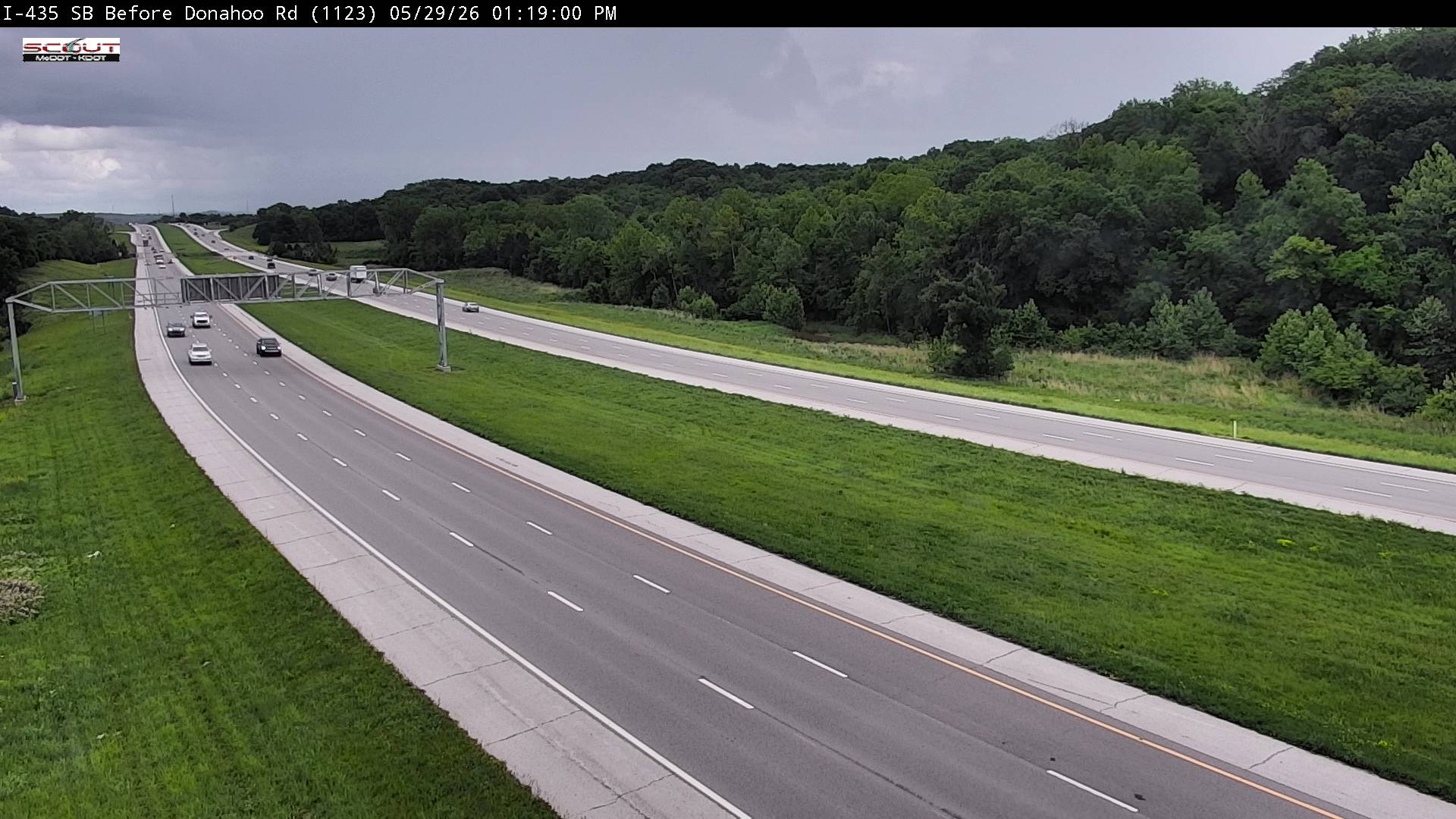
Live Traffic Camera: I-435 S @ Before Donahoo Road (N/A)
Kansas City, Kansas
All cameras on I-435 in Kansas →This traffic camera monitors I-435 in Kansas City, Kansas.
A National Weather Service watch is active for this camera area, meaning hazardous weather may develop even if current conditions appear calm. See the alert details below before traveling.
Light rain is reported near this camera, with temperatures near 71.2 °F. Allow extra braking distance and watch for spray from nearby traffic.
Additional rain is expected over the next few days, which could keep pavement conditions variable in the Kansas City area.
Camera Information & Location Details
- Highway/Roadway
- I-435
- Traffic Direction
- N/A
- County
- Wyandotte
- City
- Kansas City
- Feed Type
- Still Image
- Geographic Coordinates
- 39.17178, -94.81145
- Source Provider
- KC Scout
Real-Time Mapping
Active Weather Alert near this camera
Conditions are favorable for hazardous weather nearby, even if the current camera view looks calm.
Flood Watch
Flood Watch issued August 5 at 9:24PM CDT until August 6 at 10:00AM CDT by NWS Kansas City/Pleasant Hill MO
* WHAT...Flash flooding caused by excessive rainfall continues to be possible. * WHERE...Portions of Kansas, including the following areas, Johnson KS, Leavenworth and Wyandotte and Missouri, including the following areas, Adair, Buchanan, Caldwell, Carroll, Cass, Chariton, Clay, Clinton, Cooper, Daviess, De Kalb, Grundy, Henry, Howard, Jackson, Johnson MO, Lafayette, Linn MO, Livingston, Macon, Pettis, Platte, Putnam, Randolph, Ray, Saline, Schuyler and Sullivan. * WHEN...Through Thursday morning. * IMPACTS...Excessive runoff may result in flooding of rivers, creeks, streams, and other low-lying and flood-prone locations. Creeks and streams may rise out of their banks. * ADDITIONAL DETAILS... - Widespread rainfall amounts between 1 to 2 inches are possible Wednesday evening and into the overnight hours, with localized areas potentially receiving 3 inches or more, which could lead to flash flooding across the area. - http://www.weather.gov/safety/flood
You should monitor later forecasts and be prepared to take action should Flash Flood Warnings be issued.
- Active until
- 2026-08-06 15:00:00 UTC
- Certainty
- Possible
- Area
- Leavenworth; Wyandotte; Johnson; Putnam; Schuyler; De Kalb; Daviess; Grundy; Sullivan; Adair; Buchanan; Clinton; Caldwell; Livingston; Linn; Macon; Platte; Clay; Ray; Carroll; Chariton; Randolph; Jackson; Lafayette; Saline; Howard; Cass; Johnson; Pettis; Cooper; Henry
Current Weather near traffic camera in Kansas City, Kansas
Rain: Slight
- Temperature
- 71.2 °F
- Feels Like
- 76.6 °F
- Humidity
- 96%
- Wind
- 5.9 mph
- Wind Direction
- NE (43°)
- Precipitation
- 0.02 inch
Forecast
- Max
- 92.4 °F
- Min
- 68.6 °F
- Precip.
- 0.45 inch
- Status
- Heavy rain
- Max
- 97.8 °F
- Min
- 67.0 °F
- Precip.
- 0.00 inch
- Status
- Clear sky
- Max
- 95.6 °F
- Min
- 67.4 °F
- Precip.
- 0.58 inch
- Status
- Heavy rain
Observed at: 2026-08-06 05:00 UTC (weather data updated hourly)
Nearby Cameras
I-435 S @ Wolcott Drive
Kansas City
I-435
Distance: 0.8 miles
I-435 S @ After Donahoo Road
Kansas City
I-435
Distance: 1.1 miles
I-435 N @ Before Missouri River
Kansas City
I-435
Distance: 2.3 miles
I-435 S @ SOUTH OF LEAVENWORTH RD
Kansas City
I-435
Distance: 2.6 miles
I-435 S @ STATE AVE
Kansas City
I-435
Distance: 3.8 miles
I-435 S @ I-70
Kansas City
I-435
Distance: 4.5 miles
I-70 W @ 110TH ST
Kansas City
I-70
Distance: 4.7 miles
I-70 E @ 86th St
Kansas City
I-70
Distance: 4.9 miles
I-435 S @ NORTH OF KANSAS AVE
Edwardsville
I-435
Distance: 5.3 miles