Live Traffic Camera: Hatchet Mtn (N/A)
Burney, California
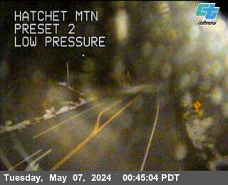
All cameras on State Route 299 (CA) in California →This traffic camera monitors SR-299 in Burney, California.
Current weather near this camera is dry, with clear sky and temperatures near 90.8 °F.
The live view is most useful for checking traffic flow, visibility, and any lane restrictions before driving through the Burney area.
Camera Information & Location Details
- Highway/Roadway
- SR-299
- Traffic Direction
- N/A
- County
- Shasta
- City
- Burney
- Feed Type
- Still Image
- Geographic Coordinates
- 40.85216, -121.76202
- Source Provider
- Caltrans
Real-Time Mapping
Current Weather near traffic camera in Burney, California
Clear sky
Road Conditions in Burney, California
Dry conditions likely
No active precipitation detected near this camera.
- Temperature
- 90.8 °F
- Feels Like
- 84.3 °F
- Humidity
- 15%
- Wind
- 8.2 mph
- Wind Direction
- WSW (248°)
- Precipitation
- 0.00 inch
Forecast
Tue, Jun 16
Clear sky
- Max
- 92.9 °F
- Min
- 63.6 °F
- Precip.
- 0.00 inch
- Status
- Clear sky
Wed, Jun 17
Clear sky
- Max
- 89.9 °F
- Min
- 61.6 °F
- Precip.
- 0.00 inch
- Status
- Clear sky
Thu, Jun 18
Clear sky
- Max
- 88.4 °F
- Min
- 62.0 °F
- Precip.
- 0.00 inch
- Status
- Clear sky
Observed at: 2026-06-16 23:00 UTC (weather data updated hourly)
Nearby Cameras
Montgomery Creek
Montgomery Creek
SR-299
Distance: 7.4 miles
SR299-SR89
Burney
SR-299
Distance: 10.0 miles
Lassen Park
Old Station
SR-44
Distance: 23.3 miles
Shingletown
Shingletown
SR-44
Distance: 25.7 miles
Obrien
Lakehead
I-5
Distance: 29.5 miles
Sidehill
Lakehead
I-5
Distance: 29.6 miles
Pit River Bridge
Redding
I-5
Distance: 29.9 miles
Salt Creek
Lakehead
I-5
Direction: North
Distance: 30.3 miles
Fawndale
Redding
I-5
Distance: 30.4 miles