Live Traffic Camera: SR-58 : Tehachapi Summit (East)
Tehachapi, California
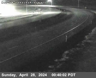
All cameras on State Route 58 (CA) in California →This traffic camera monitors SR-58 in Tehachapi, California, with a eastbound view.
Current weather near this camera is dry, with clear sky and temperatures near 62 °F.
The live view is most useful for checking traffic flow, visibility, and any lane restrictions before driving through the Tehachapi area.
Camera Information & Location Details
- Highway/Roadway
- SR-58
- Traffic Direction
- East
- County
- Kern
- City
- Tehachapi
- Feed Type
- Still Image
- Geographic Coordinates
- 35.12540, -118.41069
- Source Provider
- Caltrans
Real-Time Mapping
Current Weather near traffic camera in Tehachapi, California
Clear sky
- Temperature
- 62.0 °F
- Feels Like
- 53.6 °F
- Humidity
- 35%
- Wind
- 11.5 mph
- Wind Direction
- WNW (303°)
- Precipitation
- 0.00 inch
Forecast
- Max
- 86.6 °F
- Min
- 61.1 °F
- Precip.
- 0.00 inch
- Status
- Clear sky
- Max
- 82.1 °F
- Min
- 58.7 °F
- Precip.
- 0.00 inch
- Status
- Clear sky
- Max
- 79.1 °F
- Min
- 52.2 °F
- Precip.
- 0.00 inch
- Status
- Clear sky
Observed at: 2026-06-18 11:00 UTC (weather data updated hourly)
Nearby Cameras
SR-58 : Cameron Road
Mojave
SR-58
Direction: East
Distance: 6.4 miles
SR-58 : Broome Road
Keene
SR-58
Direction: West
Distance: 8.2 miles
SR-58 : Cache Creek
Mojave
SR-58
Direction: East
Distance: 11.2 miles
SR-14 : Silver Queen Road
Mojave
SR-14
Direction: East
Distance: 17.1 miles
KER-58-AT TOWERLINE RD
Edison
SR-58
Direction: West
Distance: 26.5 miles
KER-5-AT RTE 99
Bakersfield
I-5
Direction: North
Distance: 31.7 miles
KER-5-AT GRAPEVINE UC
Lebec
I-5
Direction: South
Distance: 32.1 miles
KER-5-AT TRUCK ESCAPE RAMP(MEDIAN)
Lebec
I-5
Direction: North
Distance: 32.3 miles
KER-5-AT TRUCK ESCAPE RAMP (SHOULDER)
Lebec
I-5
Direction: North
Distance: 32.5 miles